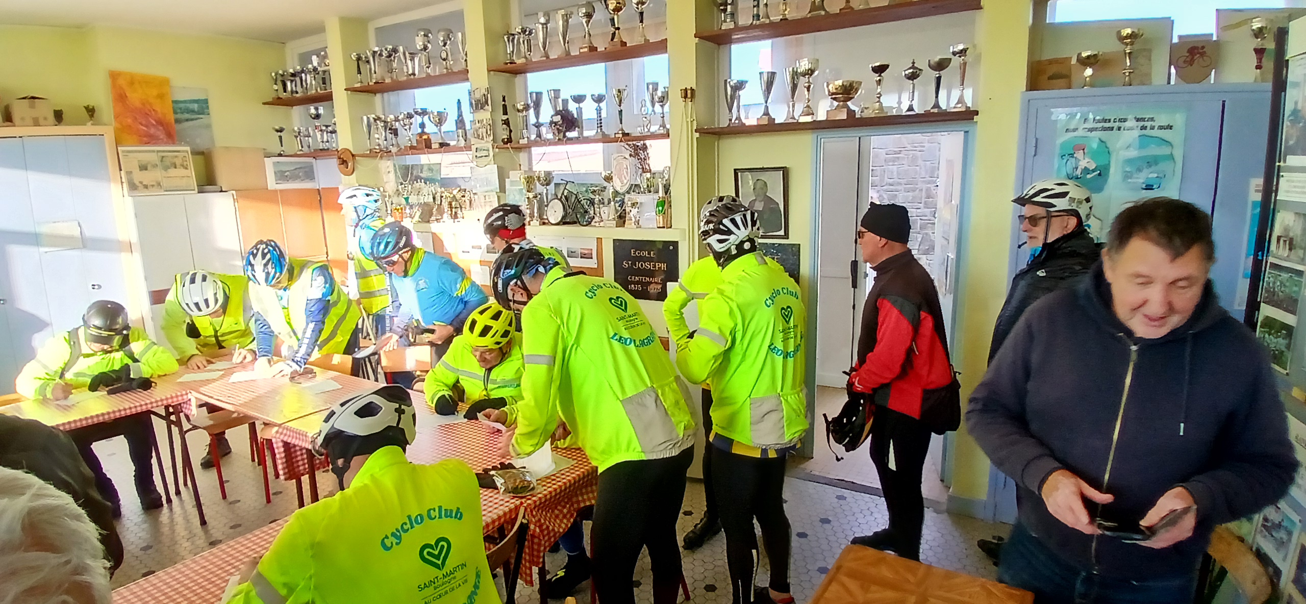
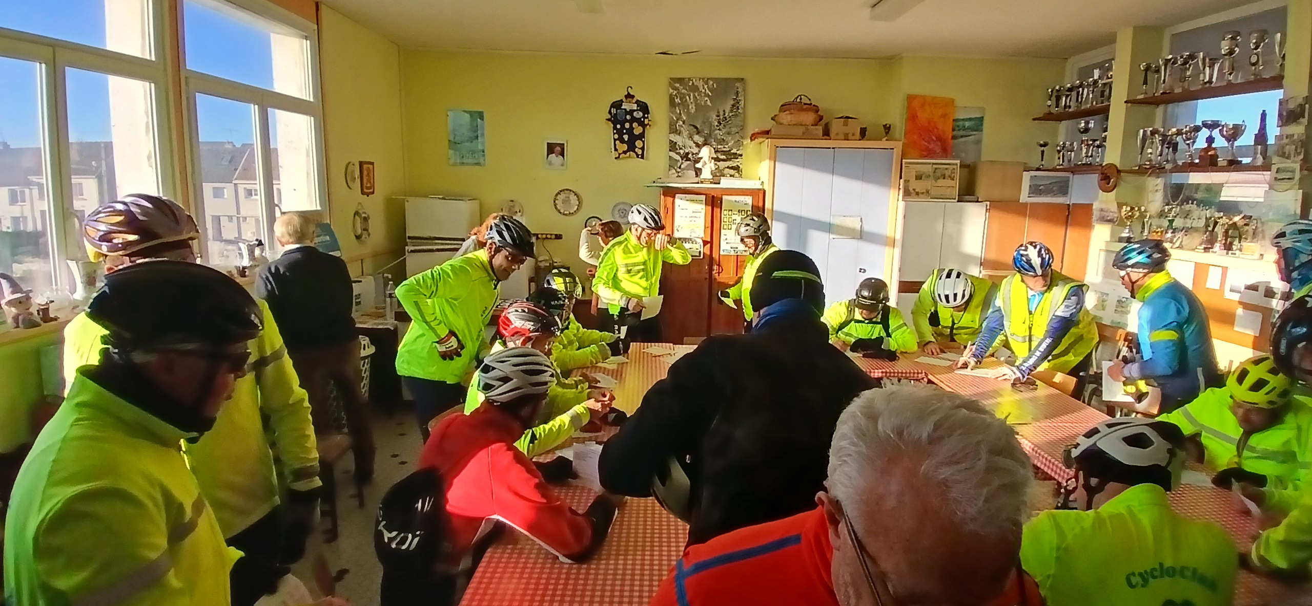
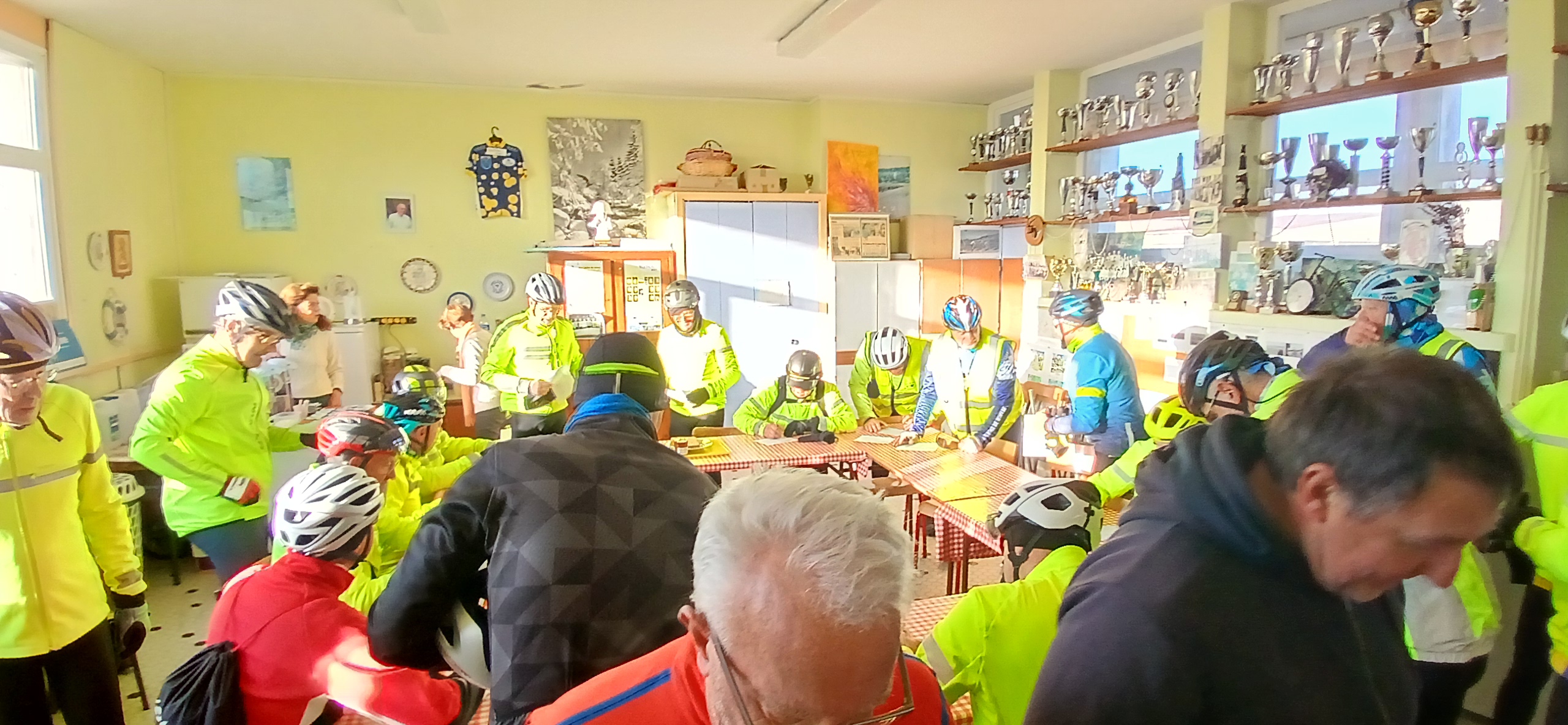
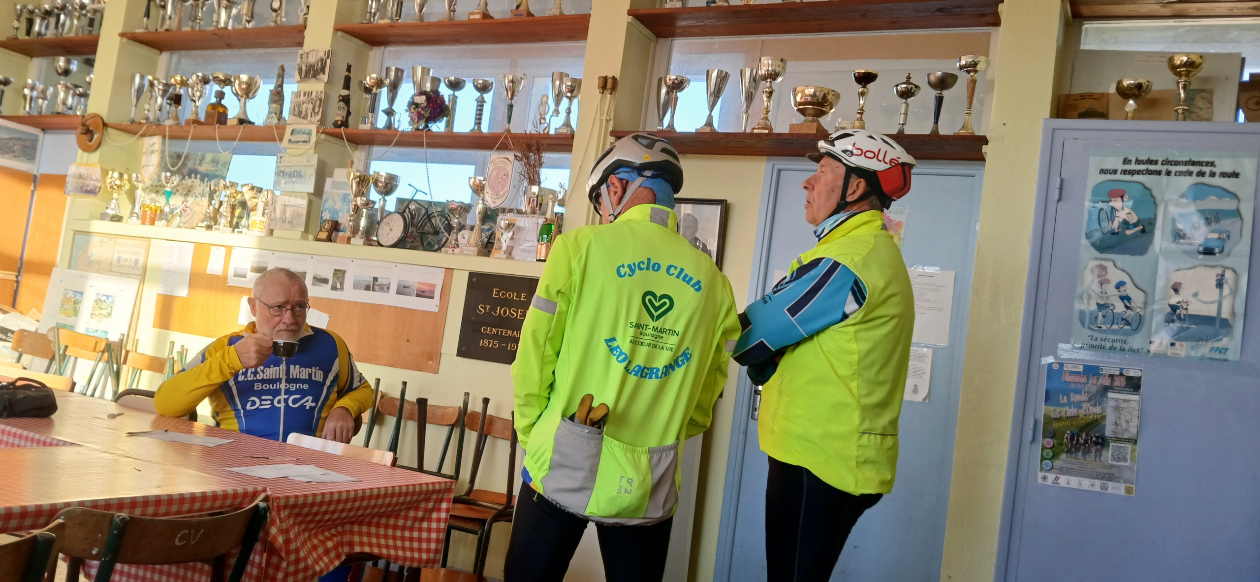
L’été, venez rouler pour le plaisir avec Club Vélo Saint Joseph à Le Portel
Des randonnées pour tous les niveaux
Parcours Famille
Map of the route “Randonnée Estivale”: 28,29 km, 197 m of climbing and 197 m of descent, elevation between 11 m and 99 m, time 00:38:47. It is a loop that starts and ends at 50.70611, 1.57589 (latitude, longitude).
50 kms
Map of the route “Randonnée Estivale”: 49,29 km, 373 m of climbing and 373 m of descent, elevation between 12 m and 99 m, time 01:57:02. It is a loop that starts and ends at 50.70613, 1.57596 (latitude, longitude).
75 kms
Map of the route “Randonnée Estivale”: 80,77 km, 630 m of climbing and 633 m of descent, elevation between 11 m and 189 m, time 05:03:45. It is a loop that starts and ends at 50.70610, 1.57585 (latitude, longitude).
100 kms
Map of the route “Randonnée Estivale”: 108,73 km, 565 m of climbing and 566 m of descent, elevation between 3 m and 184 m, time 09:17:35. It is a loop that starts and ends at 50.70609, 1.57585 (latitude, longitude).