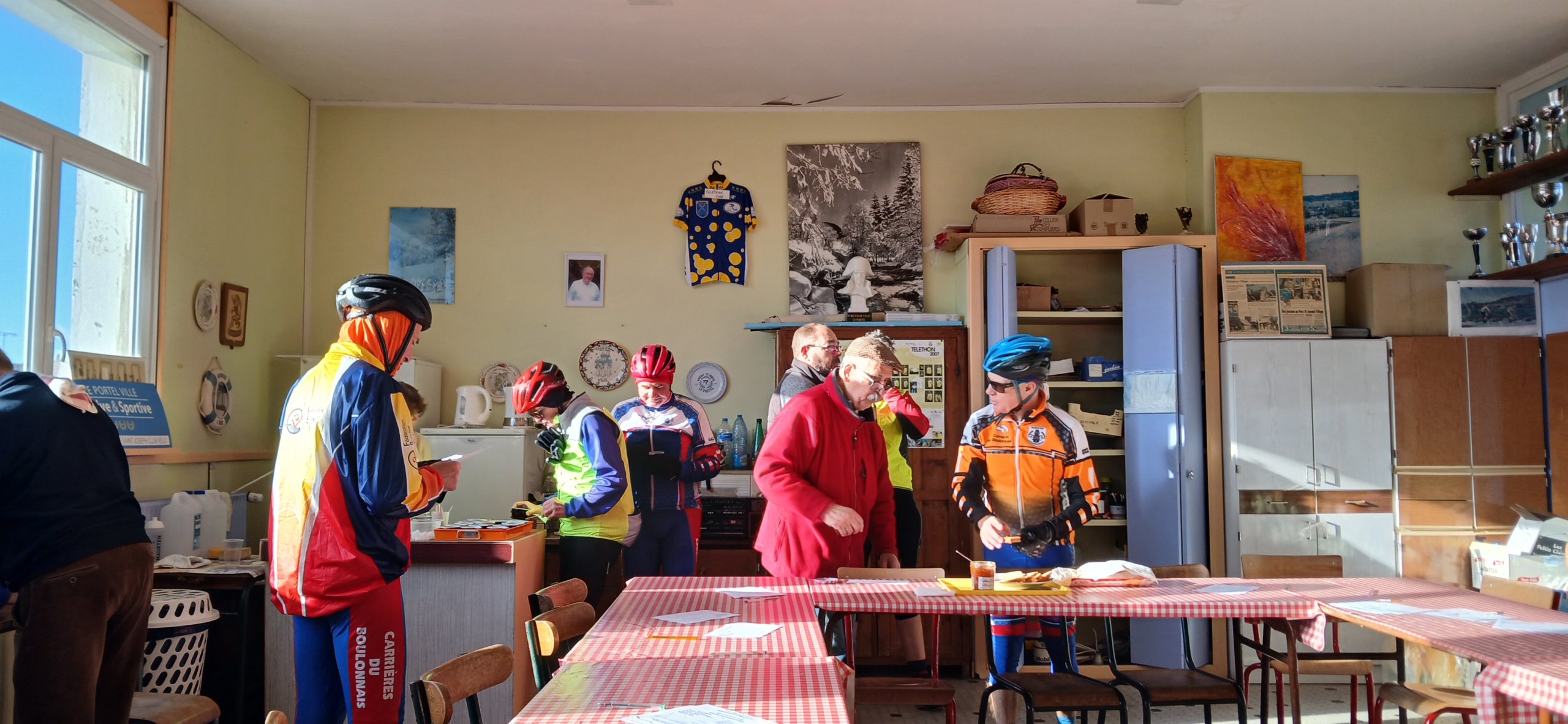
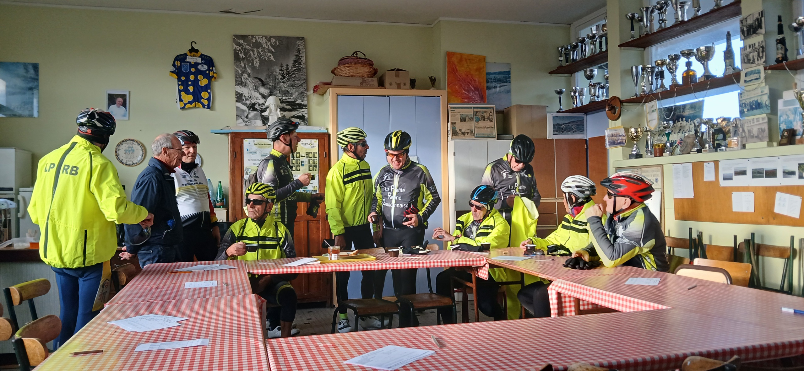
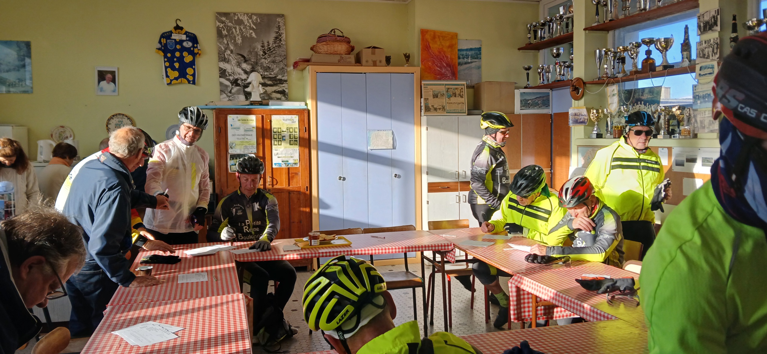
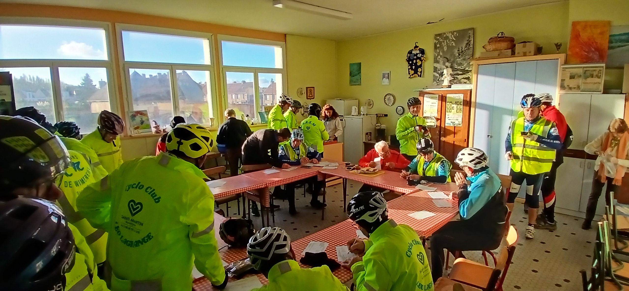
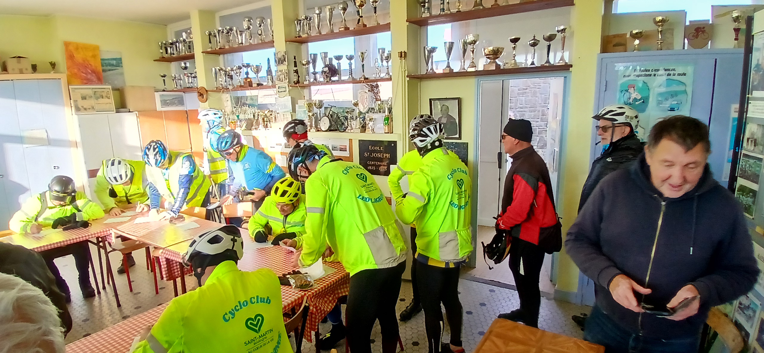
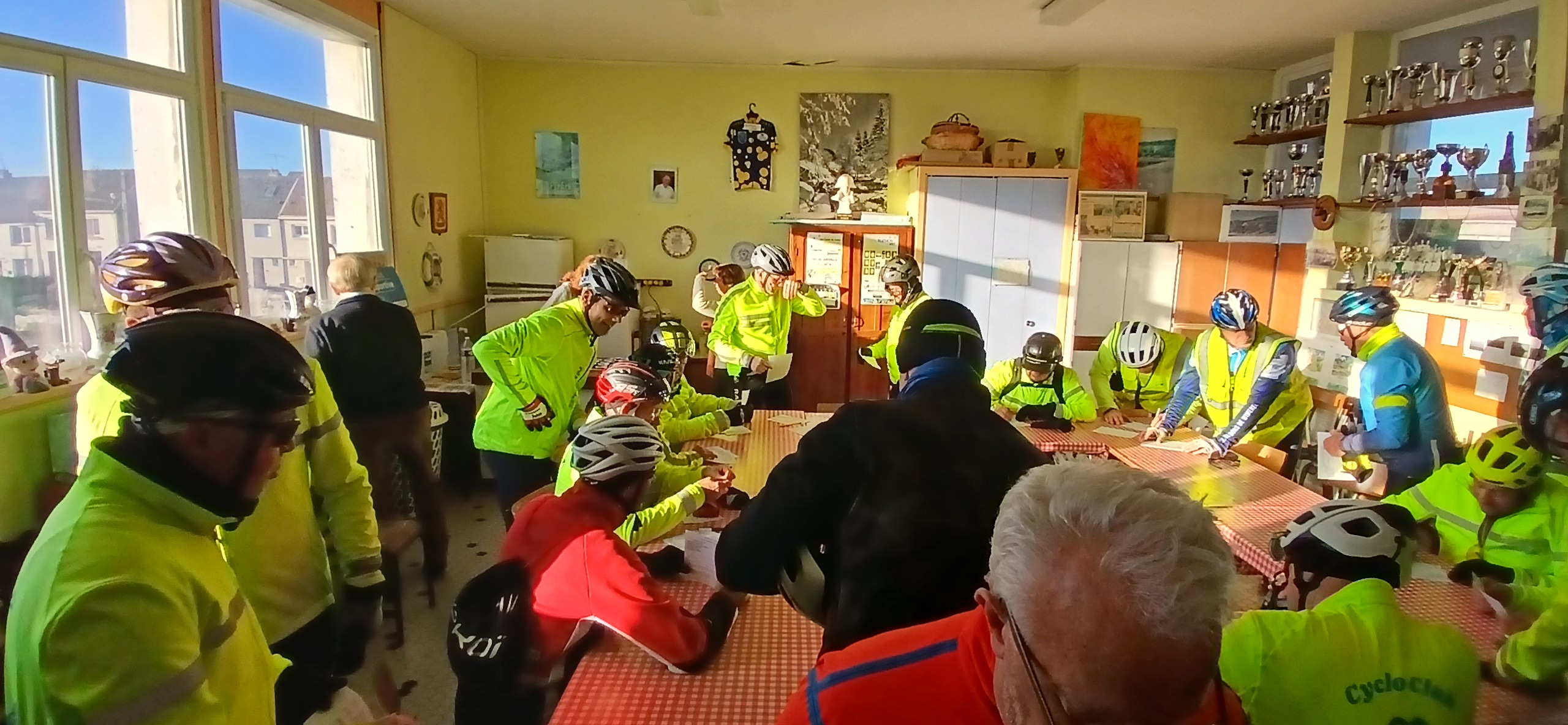
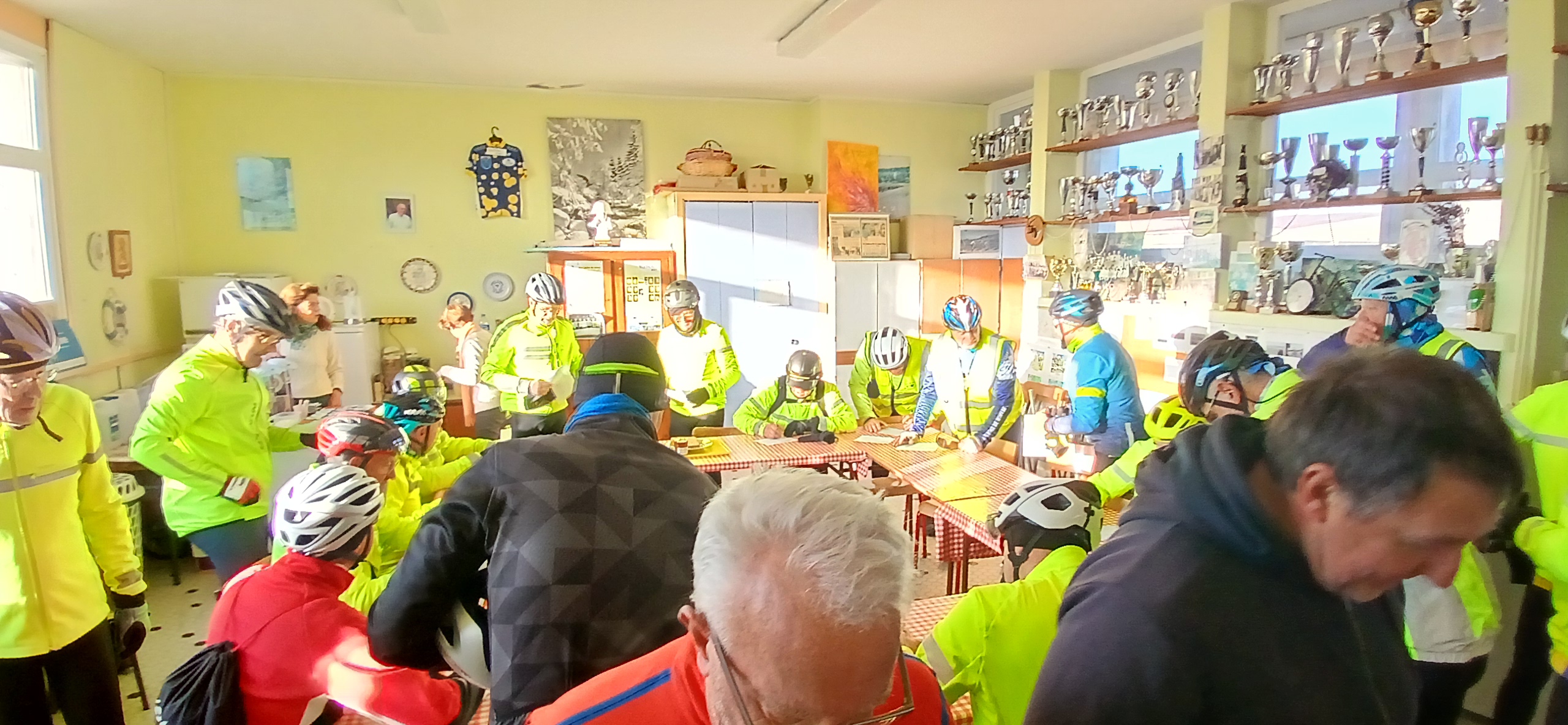
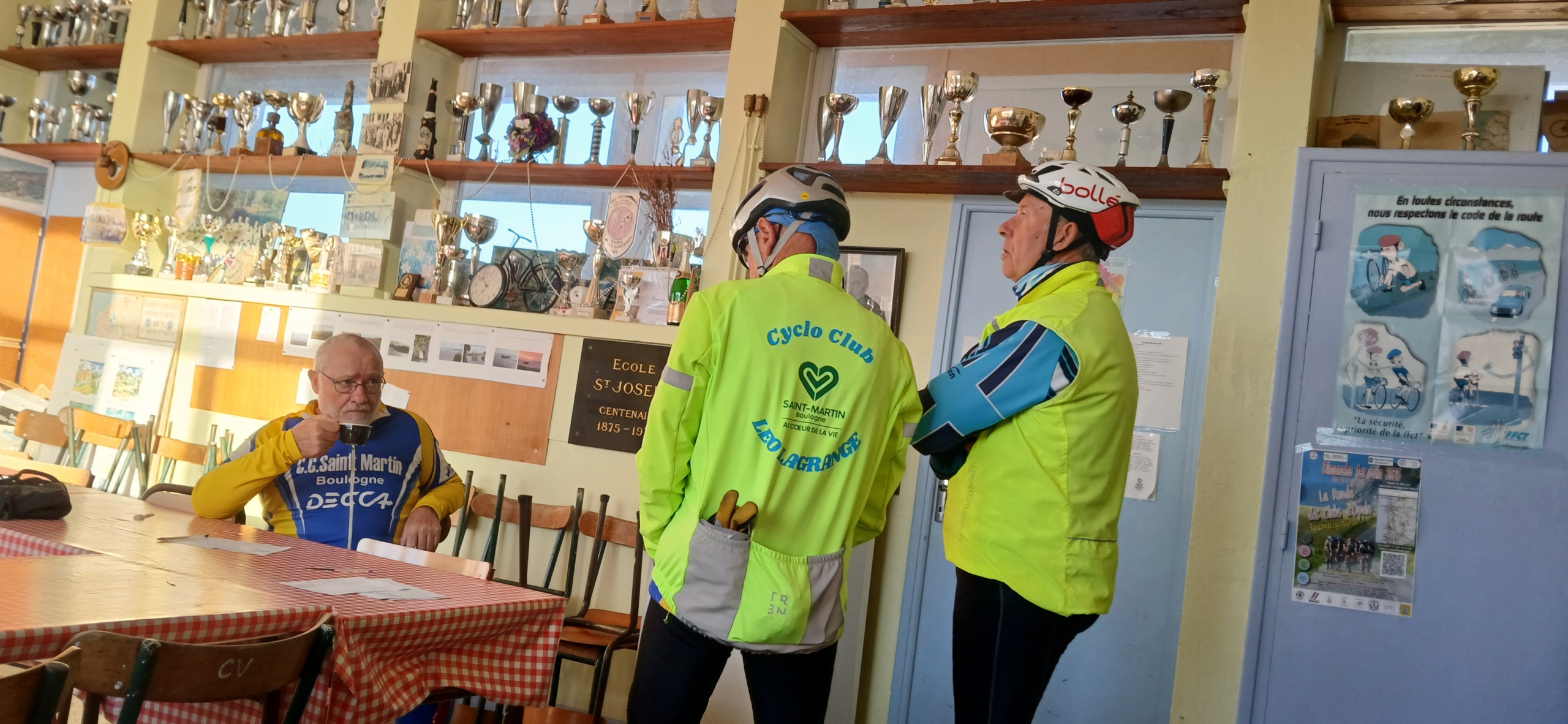
Petit parcours à faire en famille 36.37 kms
Tous les dons sont reversés au Téléthon
Map of the route “Randonnée TELETHON”: 36,22 km, 208 m of climbing and 210 m of descent, elevation between 5 m and 99 m, time 01:06:18. It is a loop that starts and ends at 50.70604, 1.57569 (latitude, longitude).